![]()
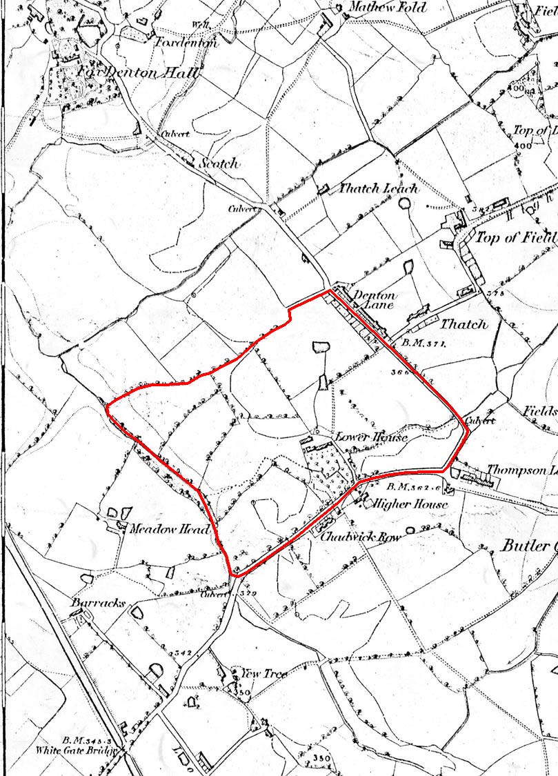
Click on the map to toggle between maps with and without the red common boundary line.
RETURN to map list
OS map from 1848 showing a part of Chadderton with Denton Hall, Thatch Leach and Denton Lane. |
Click on the map to toggle between maps with and without the red common boundary line.
|
||||||||