
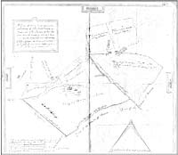
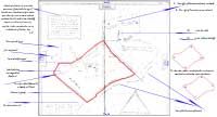
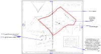
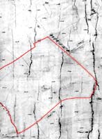
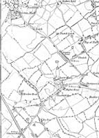
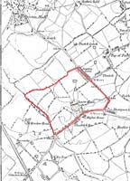
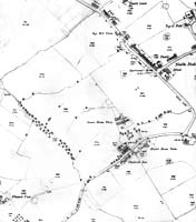
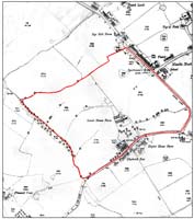
      It's frequently difficult, when looking at an old map to identify the location on a more modern one.
        In the maps below we (the group) started with a map from 1617, and followed the location
      boundary through a series of maps up to 1891.
      This was made possible by the natural features and boundaries remaining virtually the same
      The thumbnails below will take you to larger copies


                  Original photocopy of Map of 1617 
                  | 
                
                    
                  1617 Map  
                    with some transcriptions & boundary 
                  | 
                
                    
                  1617 Map turned through 180°  
                    to place 'north' at the top 
                  | 
                ..............................................  | 


                  1848 Tithe map 
                  | 
                
                    
                  1848 Tithe map  
                    with common boundary shown 
                  | 
                
                    
                  1848 OS map 
                  | 
                
                    
                  1848 OS map  
                    with common boundary shown 
                  | 


                  1891 OS map 
                  | 
                
                    
                  1891 OS map with common boundary shown 
                  | 
                 | 
                 | 
                 
             
            courtesy of Oldham Local Studies & Archives 
              Not to be reproduced without permission of Oldham Local Studies & Archives  
            |